

3. Lidar remote sensing
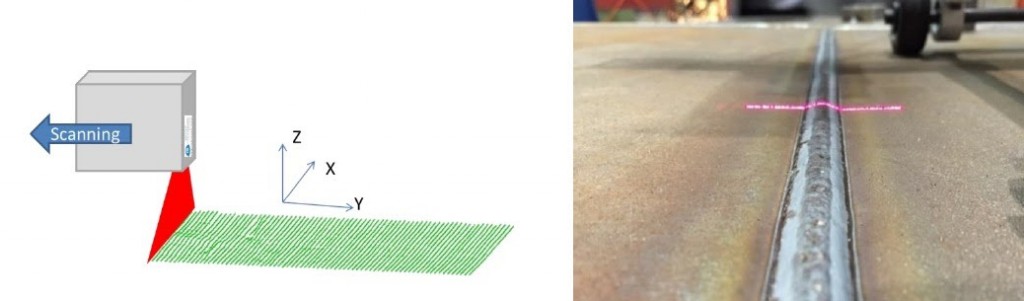
Lidar is a remote sensing method based on distance measurement. The principle of the technology is to repeat distance measurements to an object using a pulsed laser system, whose light beam is scanned over the earth's surface by an oscillating mirror. The ability to repeat measurements at a very high frequency means that we can obtain a precise description of the ground or of objects above ground (vegetation, buildings) in the form of a "point cloud" with x, y and z coordinates, provided we know the exact position of the emitting source. This point cloud is then classified to separate points that have reached the ground from those that have touched vegetation or other objects. Several digital elevation models (DEMs) can be created from these points, with altimetric and planimetric resolution depending on the density of points available. The most widely used in archaeology is the digital...

Exclusive to subscribers. 97% yet to be discovered!
Already subscribed? Log in!
Lidar remote sensing

 Using lidar in archaeology
Article included in this offer
"Analysis and Characterization"
(
271 articles
)
Updated and enriched with articles validated by our scientific committees
A set of exclusive tools to complement the resources
Bibliography
Exclusive to subscribers. 97% yet to be discovered!
Already subscribed? Log in!